UBc Maps
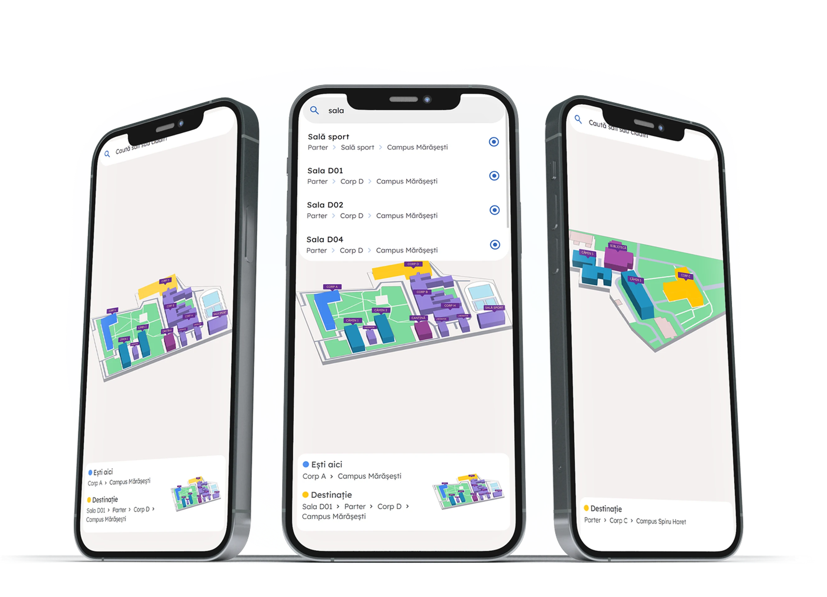
This was one of the most interesting projects I have worked on. The goal of the project is to help first-year students navigate the UBc campus, which is a common issue at most universities. Although the project initially had a more complex scope, considering the delivery deadline and final budget, we arrived at a solution that satisfies both the students' needs and the project parameters set by the university.

Roman
Daniel-Gabriel
The project was initially proposed as a navigation system using coordinates and stylized vector maps to help first-year students navigate the UBc campus. It was a more complex project to build in terms of both cost and time. After establishing the university's time and budget constraints, we arrived at this solution: a navigation system using static locations and maps that matches encoded locations on vector maps with various search terms. This is an easy-to-implement solution that requires minimal maintenance through straightforward administration.
The system is supported by a series of location-based QR codes distributed throughout the university, which, once scanned, show the student's current position and starting point when navigating to a new location.
Ultimately, the solution is an extremely simple system for loading vector maps based on various parameters. It is efficient in terms of time, cost, and real-world impact.
Image gallery
Ready to launch high-performing software that actually drives revenue?
Let us discuss your catalog, business workflow, and timeline.
You will get an honest technical assessment and a clear path to launch.